Last Updated on April 10, 2024, 10:31 AM | Published: April 10, 2024
The City of Oklahoma City (OKC) sends this information as posted below:
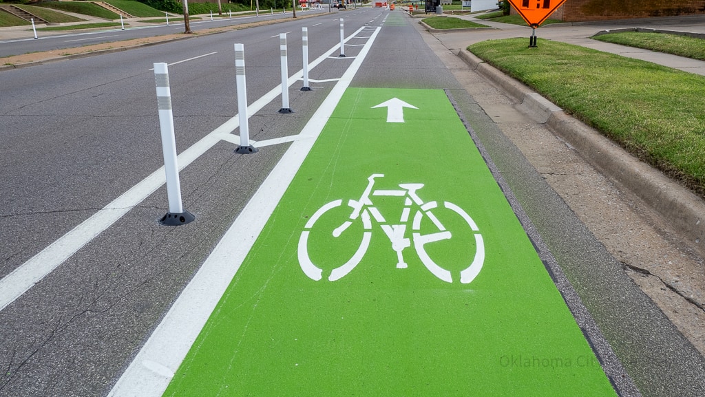
Cyclists, runners and walkers can connect to Oklahoma City’s 25 miles of bike lanes, 96 miles of trails and see where lanes and trails are under construction by using three new interactive maps now available on okc.gov.
- Existing Bike Routes Map: From bike lanes to multi-use trails, this color-coded, interactive map will help cyclists determine the most connected and open routes across OKC.
- Bike Projects Map: The public wanted to see where the City was building bike lanes and trails. This map shows how upcoming bike projects fit within OKC’s trail network and locations where the City is building or improving bike lanes and trails.
“Residents can now access the OKC bike route map and find bike-friendly streets to get where they need to go,” Senior Transportation Planner Max Harris said. “However, there is still a long way to go to create a fully connected and safe bike network, which is where the new Bike Projects map comes in. All the funded bike and trail projects can now be found in this map.”
Two extensive bike lane projects are under construction:
- N Lottie Avenue Bike Lane: This project includes the City’s first parking-protected bike lane on Lottie Avenue from NE 13th Street to NE 23rd Street. The 1.8-mile bike lane begins at NE 4th Street and runs north to Madison Street, then turns west to N Kelley Avenue. The bike project is scheduled to be completed in May.
- S Air Depot Boulevard Bike Lane: As part of MAPS 3, this bike connection is under construction near Tinker Air Force Base. It’s expected to be complete by the end of April. The bike lane will connect Draper Trail to Grand Boulevard Trail with lanes alone SE 59th Street and S Eastern Avenue.
Sidewalks throughout the City
Thanks to bikewalkokc and funding from sources like the voter-approved Better Streets, Safer City bond program and MAPS 4, sidewalks continue to be built across the city.
The Active Pedestrian Projects Map shows all bikewalkokc projects completed in the past 1-2 years and upcoming sidewalk and streetscape projects. The interactive map allows viewers to see project construction status, funding source and more.
“Sidewalk projects, which are prioritized through bikewalkokc to focus on areas of greatest need, are all shown in this interactive map,” Harris said. “Sidewalks represent ADA accessibility and basic walkability infrastructure that has long been needed all across the city. This map shows the City’s efforts to address these needs through various funding sources, including the Better Streets, Safer City bond program and MAPS 4.”
OKC trails
In addition to the on-street bike lanes, the City has nearly 100 miles of multi-use trails. Oklahoma City’s trails system can take you to almost every point in the City.
The Deep Fork Trail is under construction and is expected to be completed in fall 2024.
“Multi-use trails, or our linear parks, are a key component of offering an alternative method for people to commute to work or access shopping areas and points of interest across Oklahoma City,” OKC Parks Director Melinda McMillan-Miller said. “The robust system of trails is planned to grow with future capital funding projects to enhance the quality of life for all residents.”
Oklahoma City’s bike lanes, trails, sidewalks and other pedestrian projects are funded through a variety of sources, including Better Streets, Safer City bond program, MAPS 3, MAPS 4, American Rescue Plan Act grants, Association of Central Oklahoma Governments grants and more.
Learn more about bikewalkokc at okc.gov/bikewalkokc. Sign up for project updates via the Bike and Pedestrian newsletter here.
Free Press curates press releases from organizations and people we know to be reputable. If you would like to submit a well-written press release for us to publish on our site, please click the email icon at the top of this page.


